Log in
All resources
Create a design
218 Free Images of East River (new York)
historical
water
architecture
history
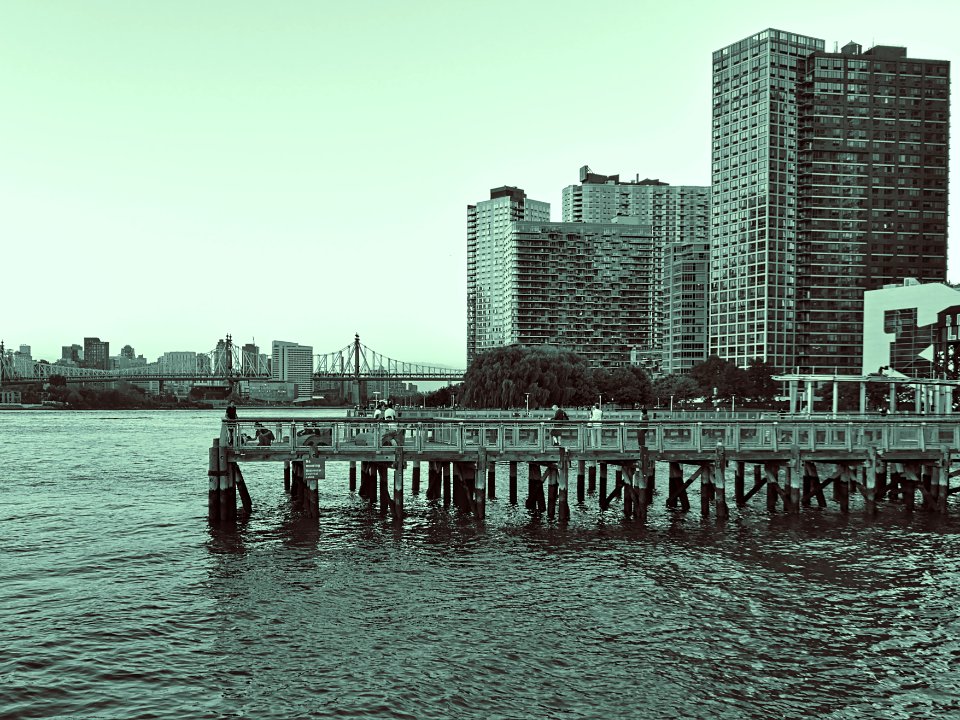
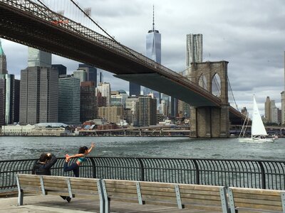
skyline
city
cityscape
urban
nyc
waterfront
views from manhattan, new york city
panorama, leicester square
skyline
water
new york
water
historical
history
historical
history
maps in the library of congress
1777 maps of north america
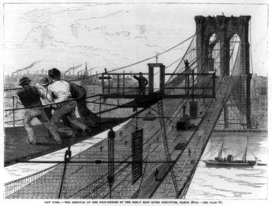
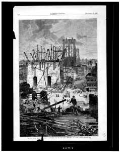
illustrations by alfred waud
harper's weekly, 1865
1849 maps of north america
old maps of canada
building
skyline
historical
history
historical
history
prints in the library company of philadelphia
philadelphia in the 1870s
building
skyline
travels in the interior of north america, during the years 1832–1834
works by maximilian zu wied-neuwied
maps by peter lesley
maps by james hall
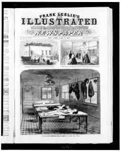
frank leslie's illustrated newspaper, 1864
19th-century unidentified engravers
carte de barbarie, nigritie, guinée par guillaume delisle (1707)
university of washington
carte de l'afrique françoise par guillaume delisle (1726)
philippe buache
201 - 218 of 218
/ 3